Here you’ll find downloads to all the tools/tutorials we are distributing from this site and some landscapes created with the same tools. You’ll find an explanation of these items and any documentation/tutorial info by visiting either the Tools or Tutorials pages.
Tools & Tutorials |
Scenery/Landscapes |
||||||||||||||||||||||||||||||||||||||||||||||||||||||||||||||||||||||
TOOLS
TUTORIALS
|
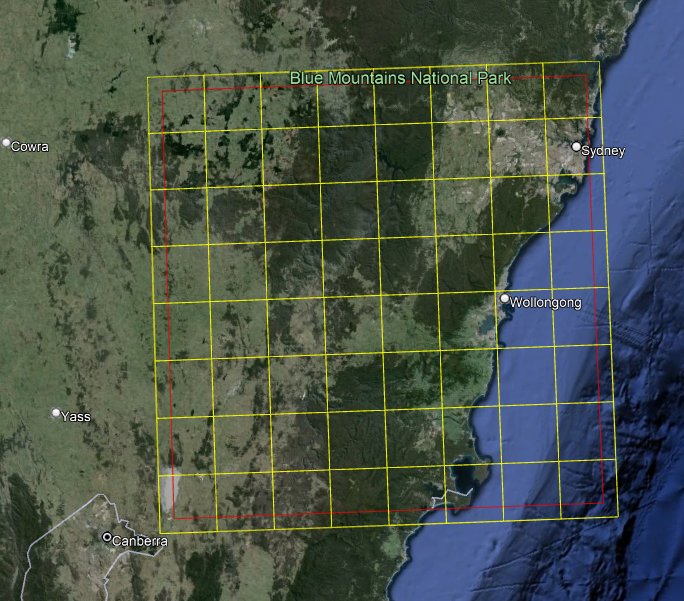
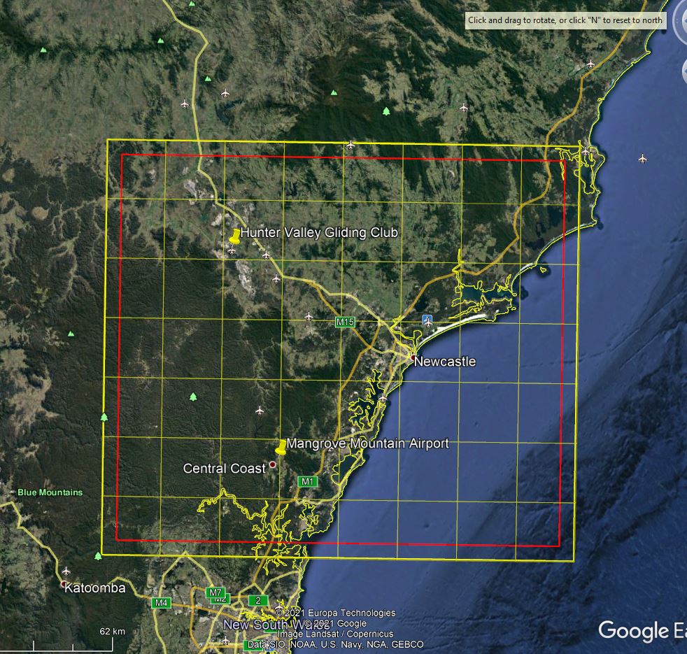
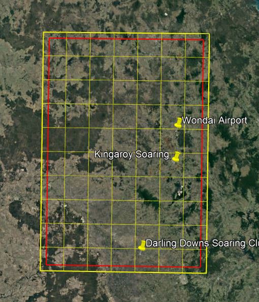
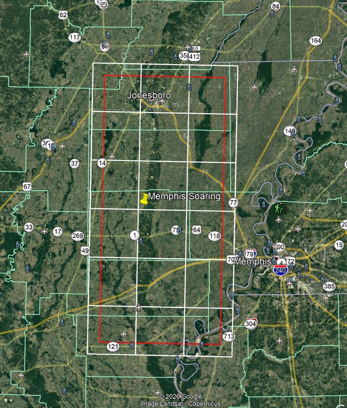
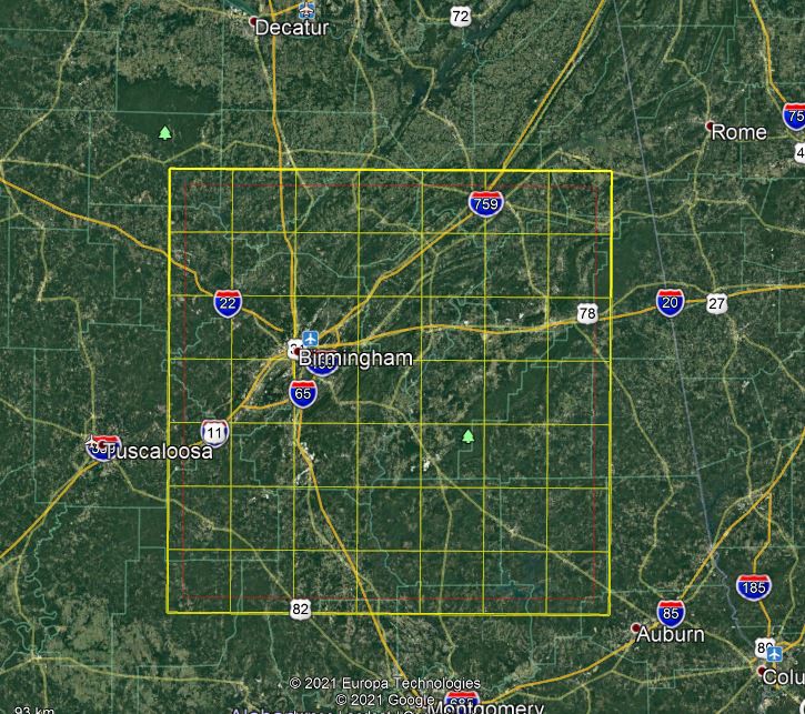
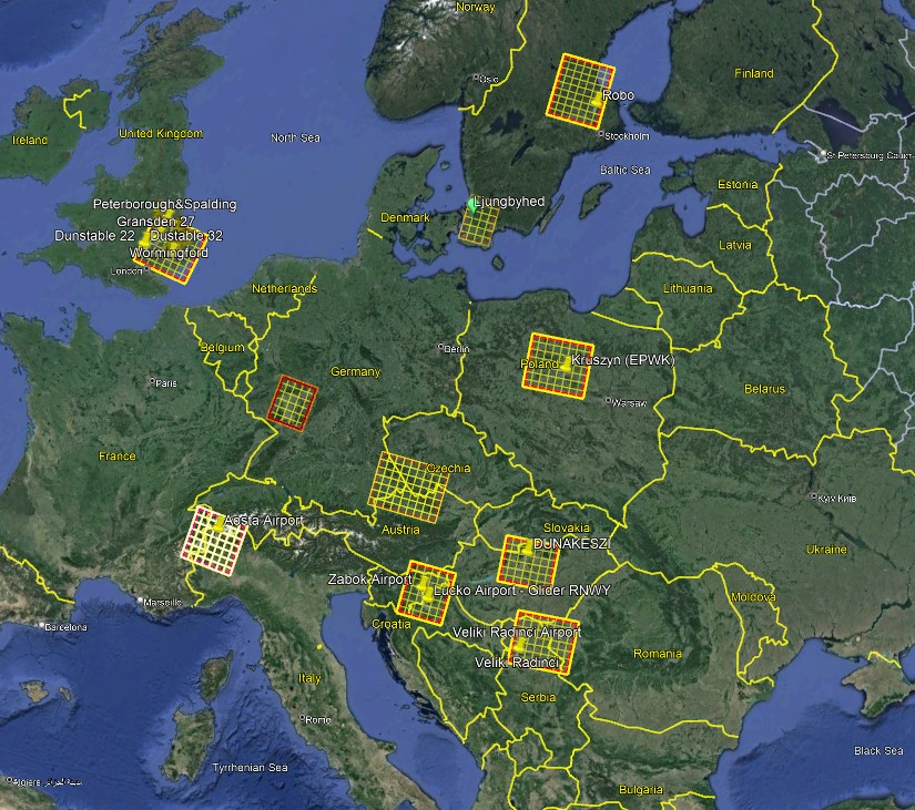
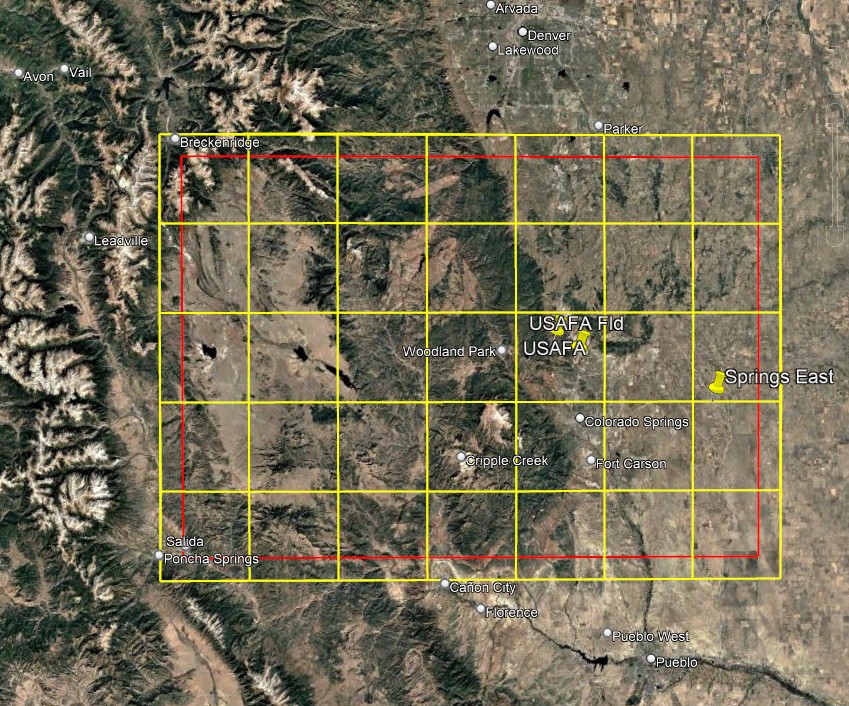
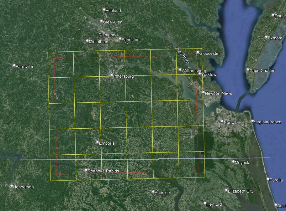
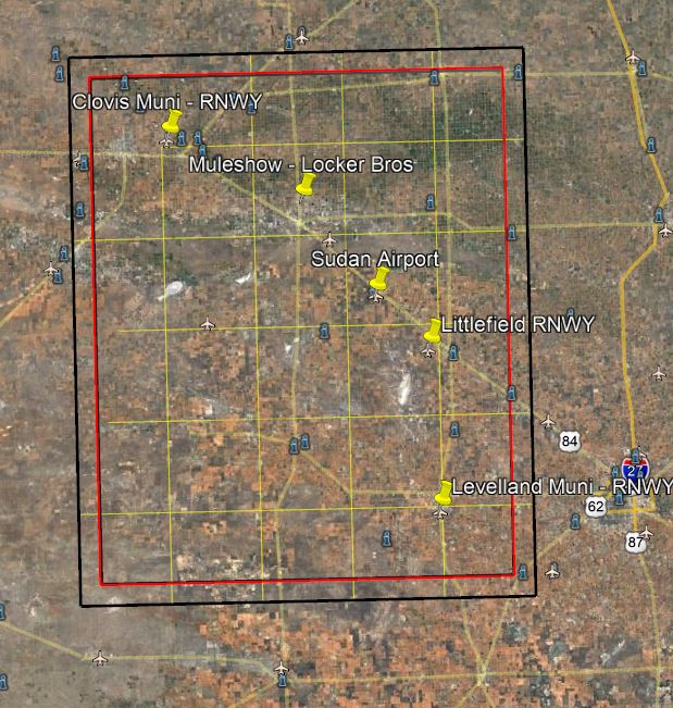
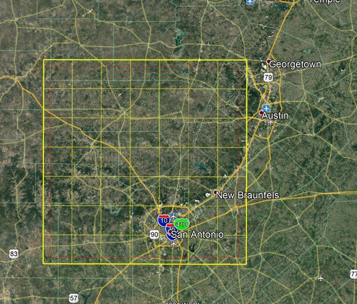
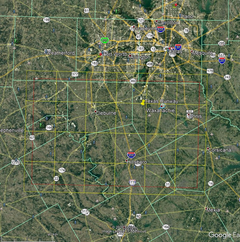
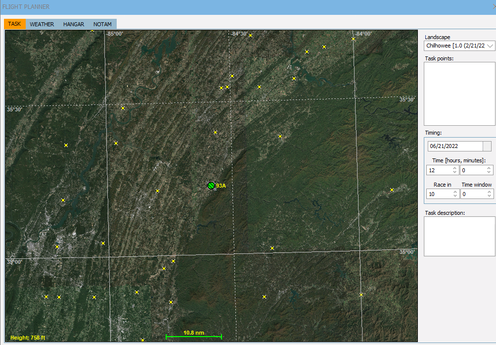
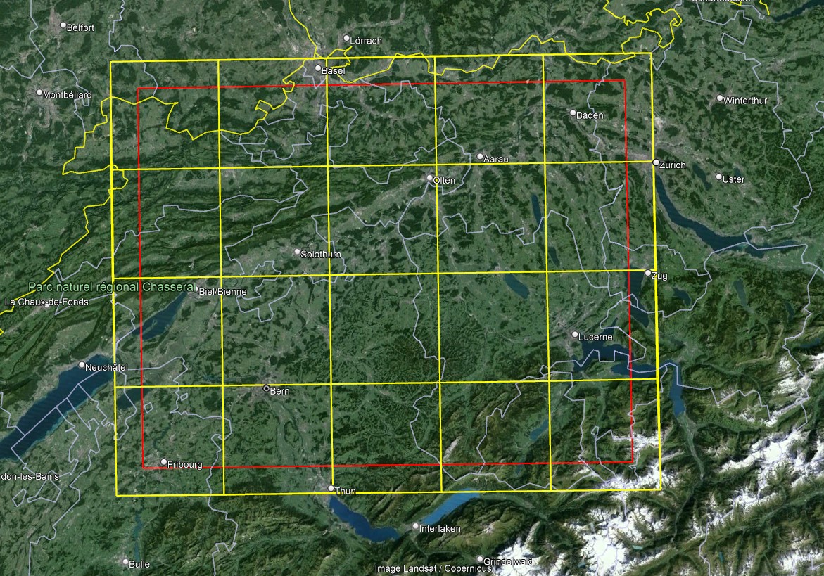
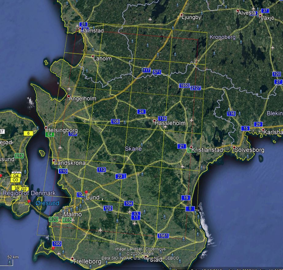
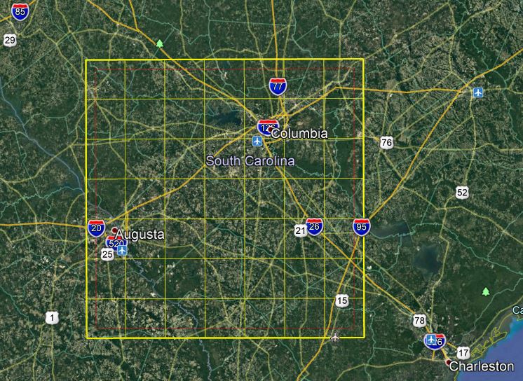
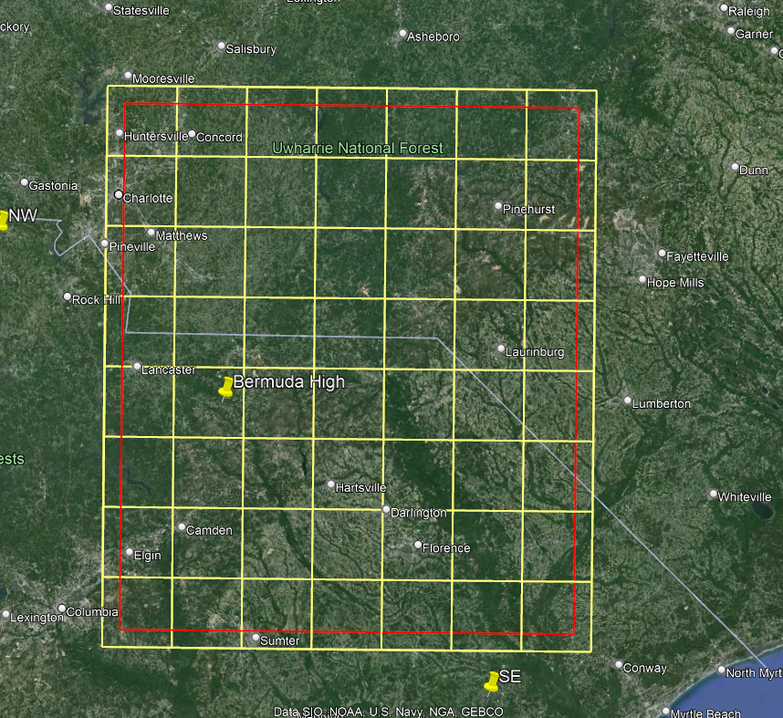
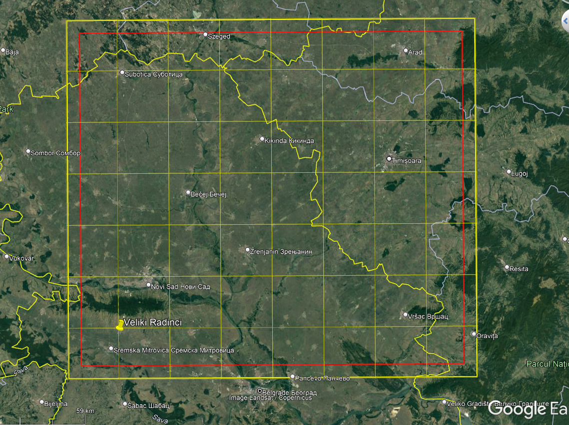
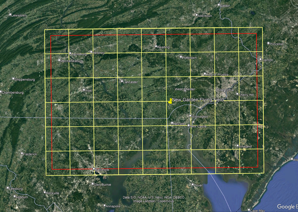
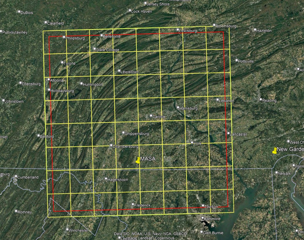
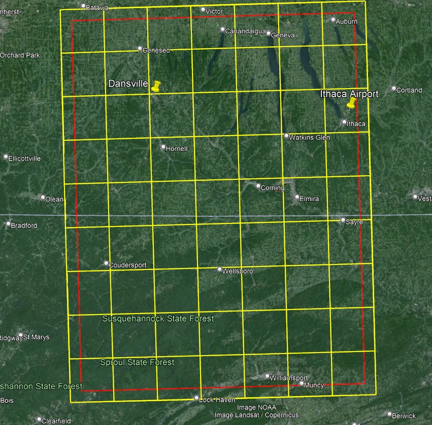
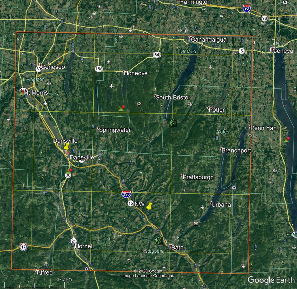
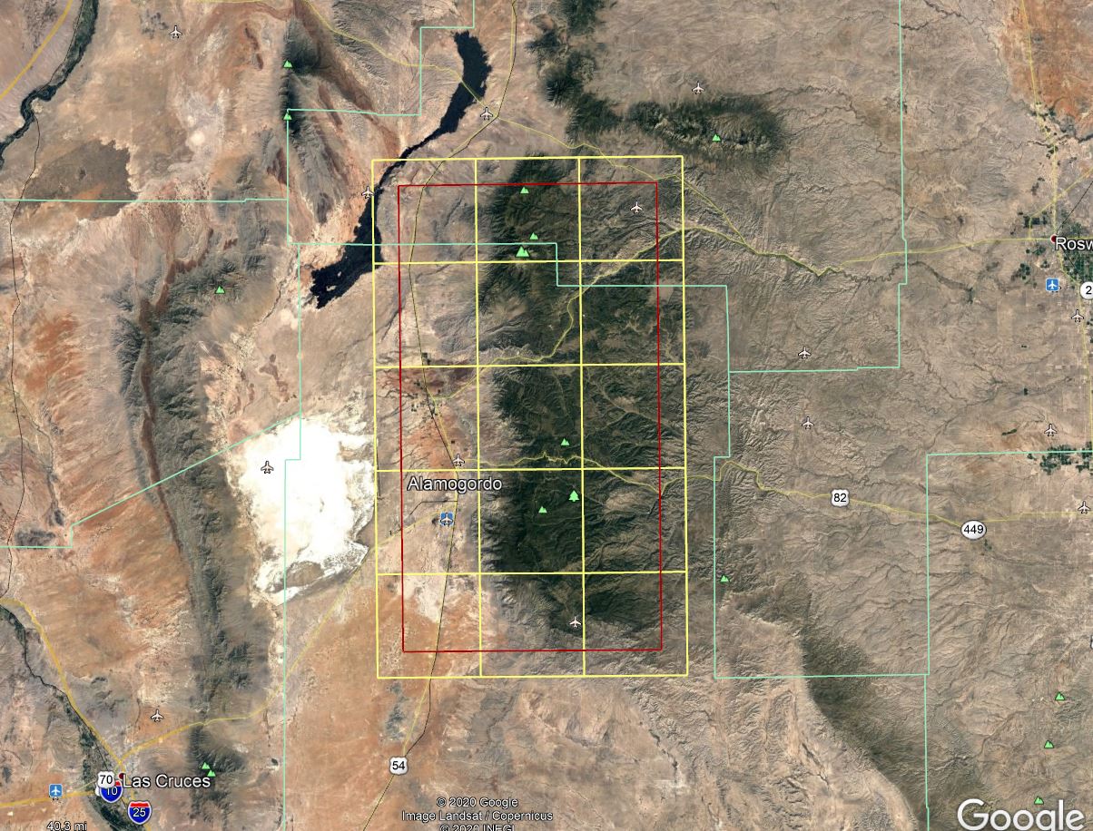
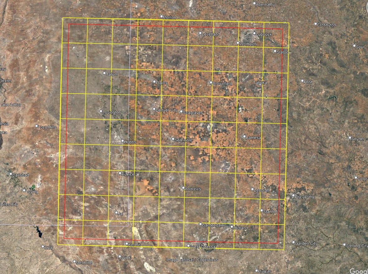
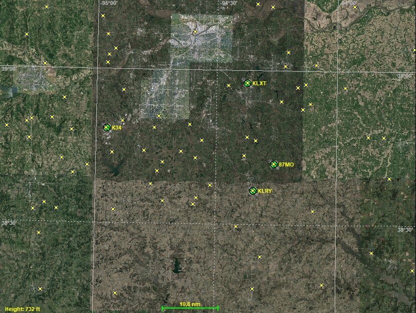
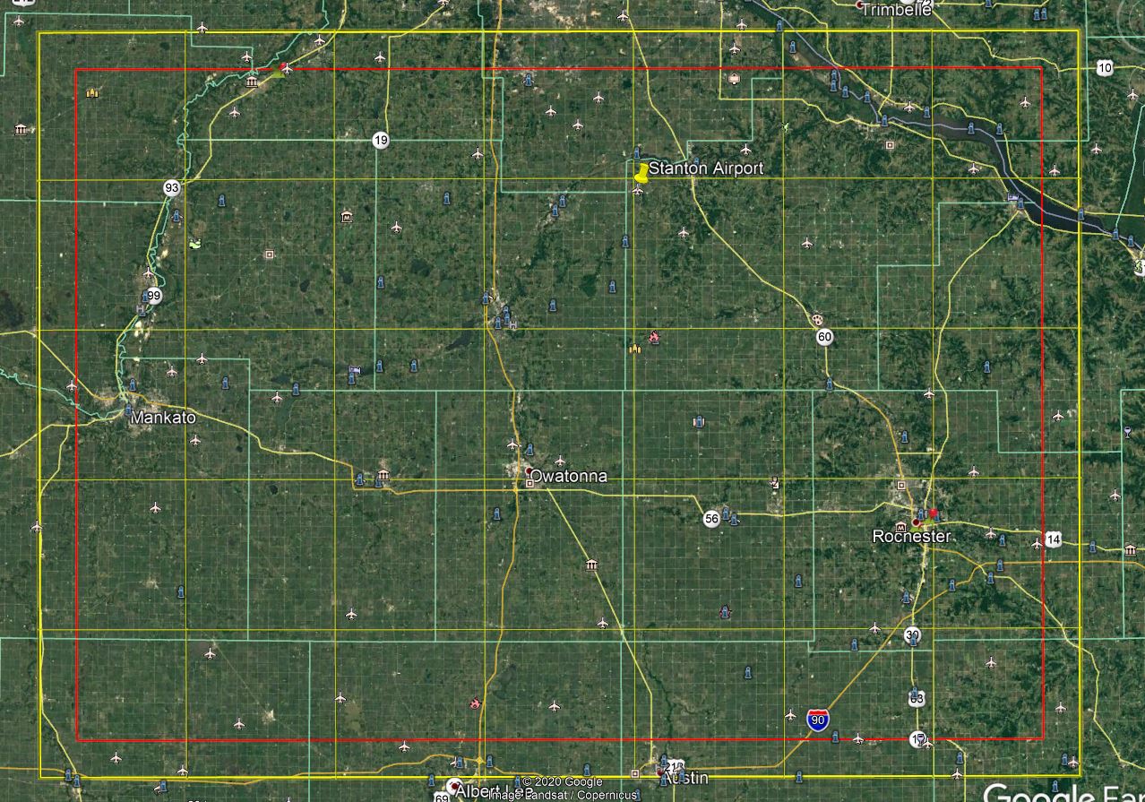
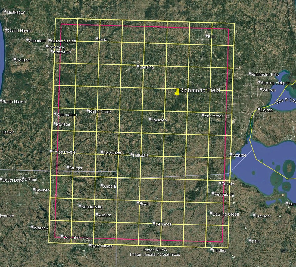
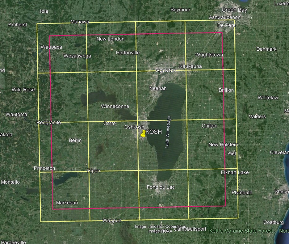
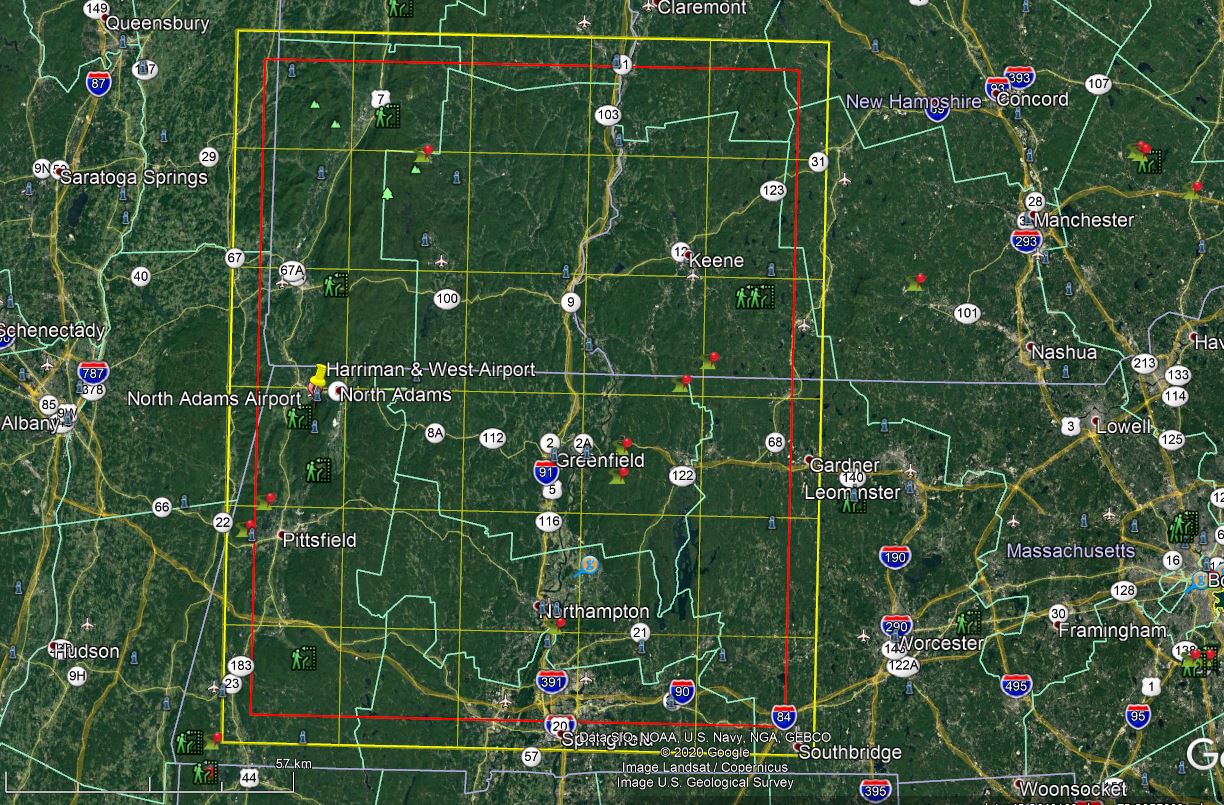
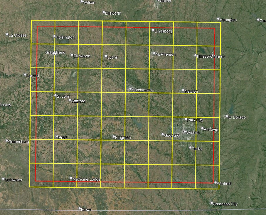
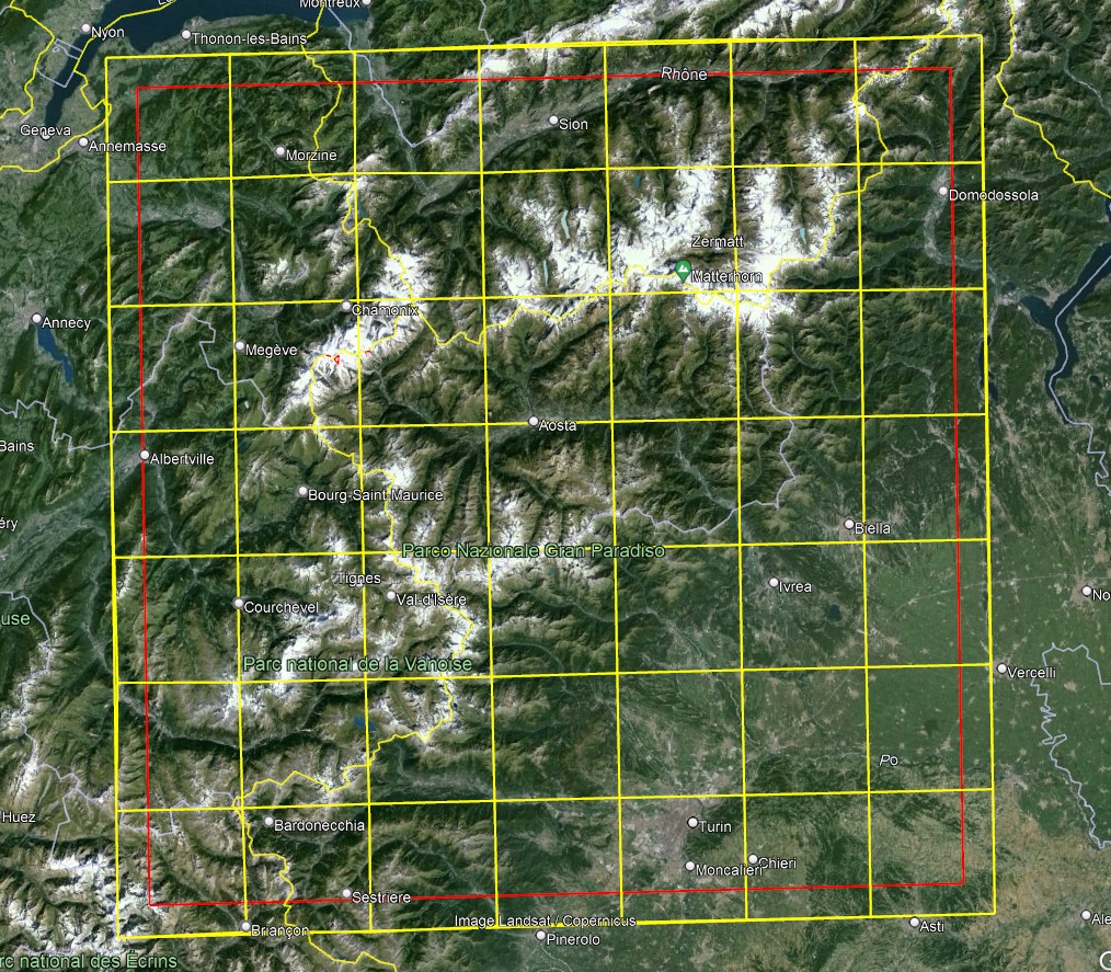
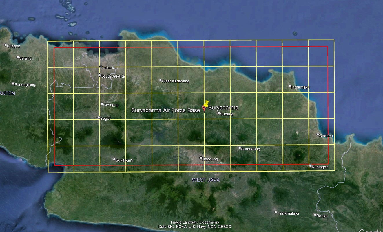
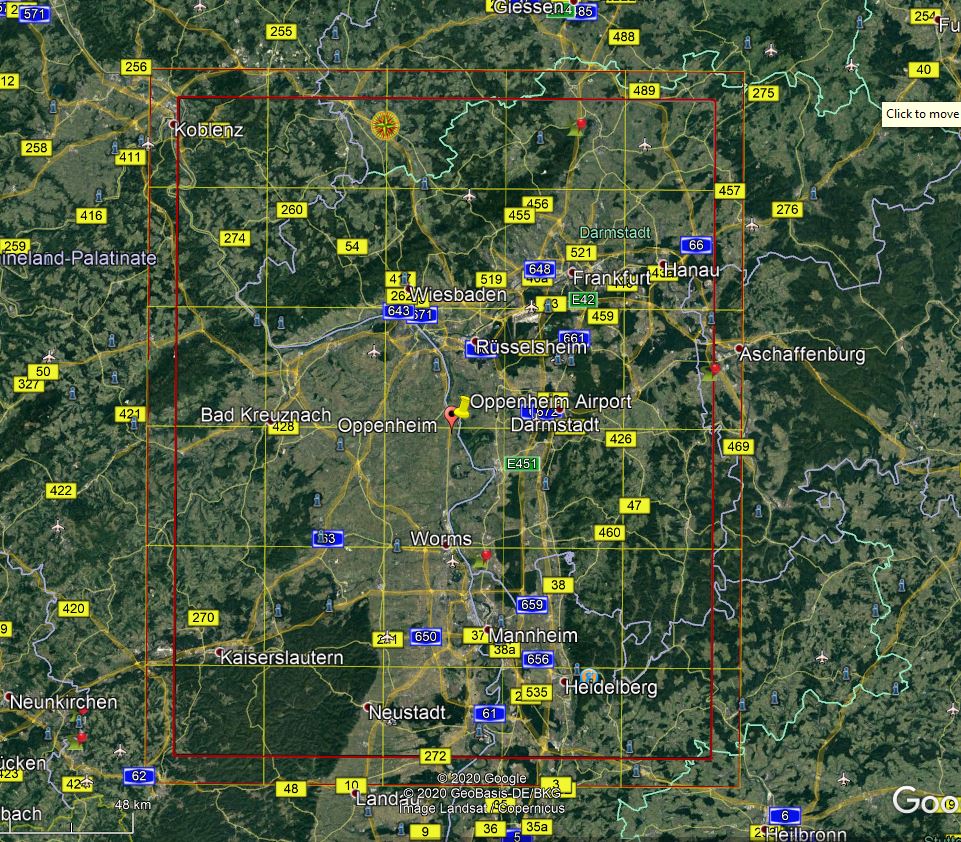
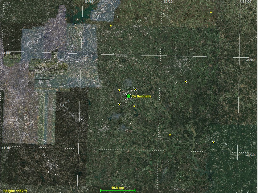
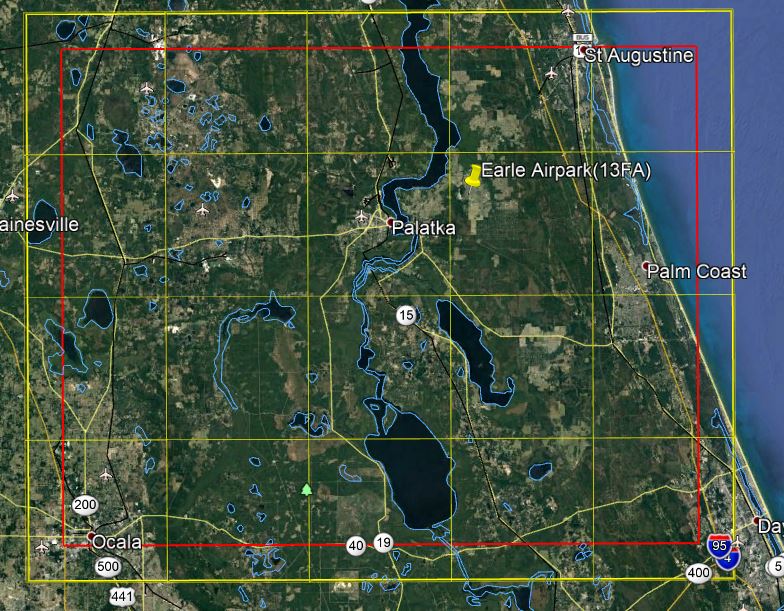
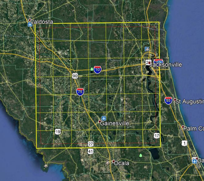
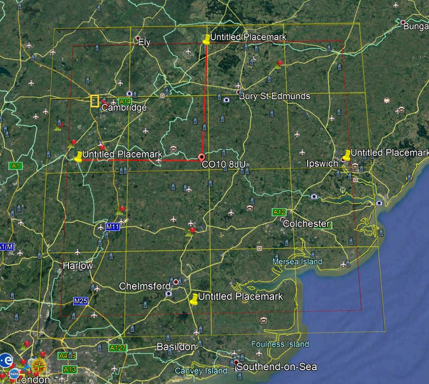
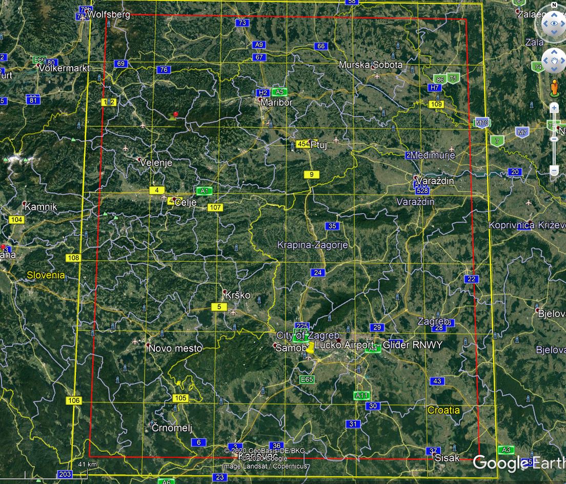
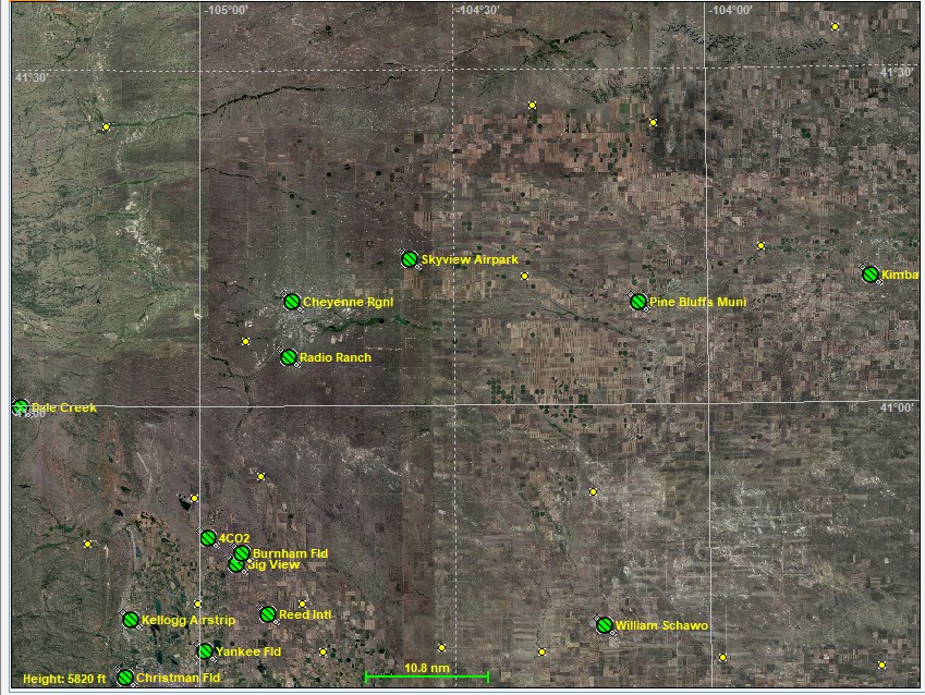
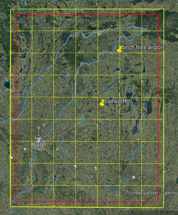
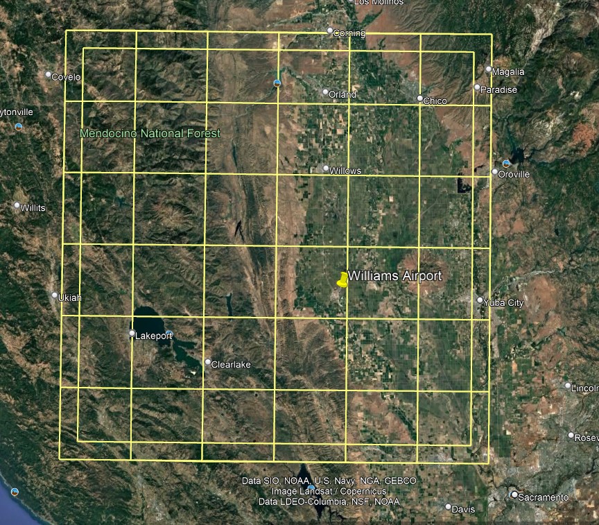
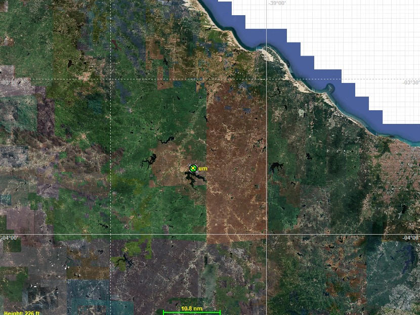
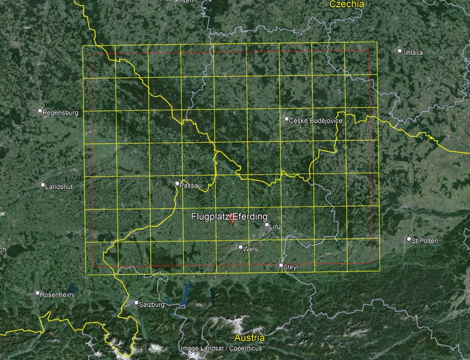
The follow high resolution photo-realistic landscapes were developed using the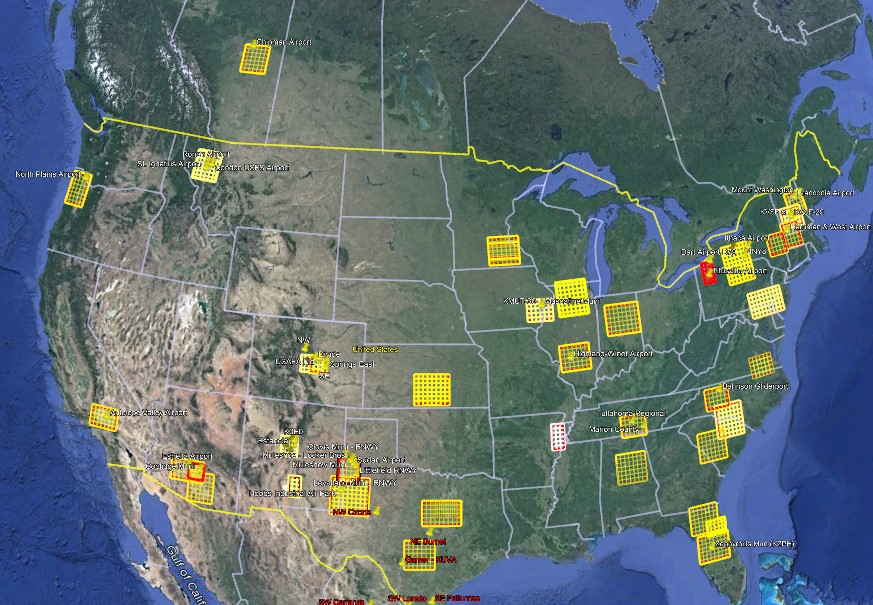 tutorials & tools from our site. Click on the stamp image to see the tile coverage.These are all compatible with Condor2. A growing number are compatible with both Condor 2 & 3 (marked with a red Condor 2/3) Listed in reverse alphabetical order by State/Country. tutorials & tools from our site. Click on the stamp image to see the tile coverage.These are all compatible with Condor2. A growing number are compatible with both Condor 2 & 3 (marked with a red Condor 2/3) Listed in reverse alphabetical order by State/Country.
We’ve created over 70 landscapes for different clubs both in North America and Europe. And we’re happy to create a free landscape of your Club’s local flying area, just complete this form. You can also find a large collection of sceneries at the Condor Club website. If you’d like us to post one of yours, just let us know!
|
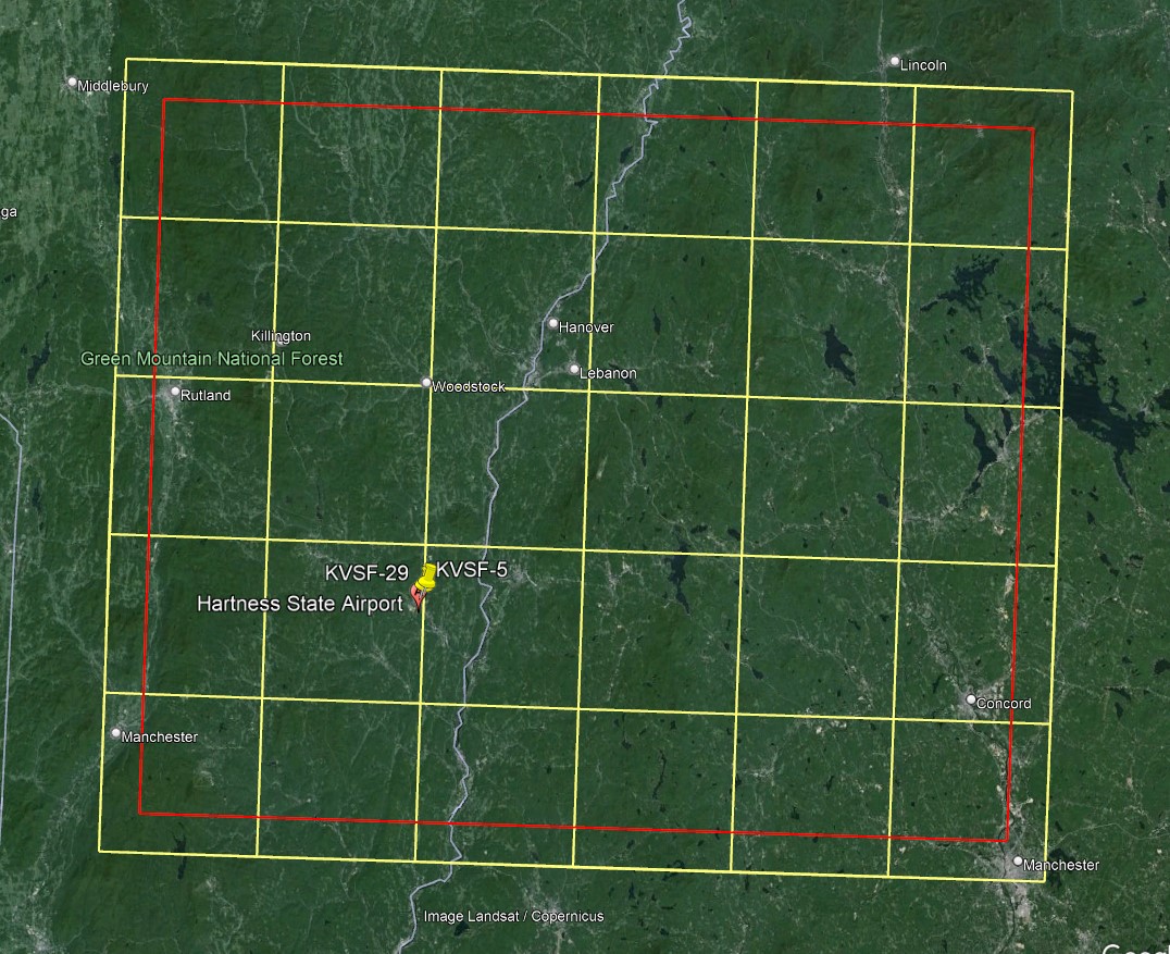
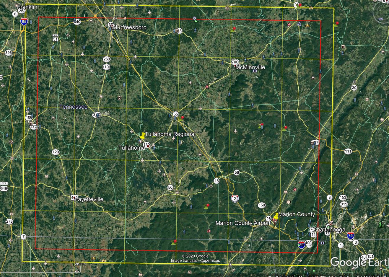

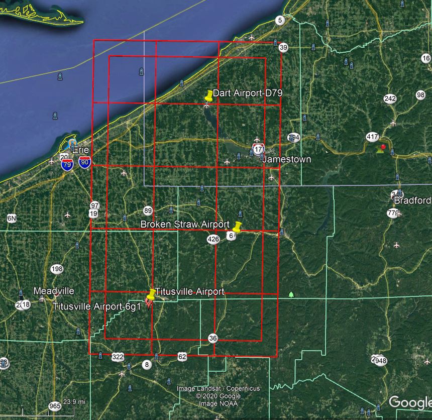
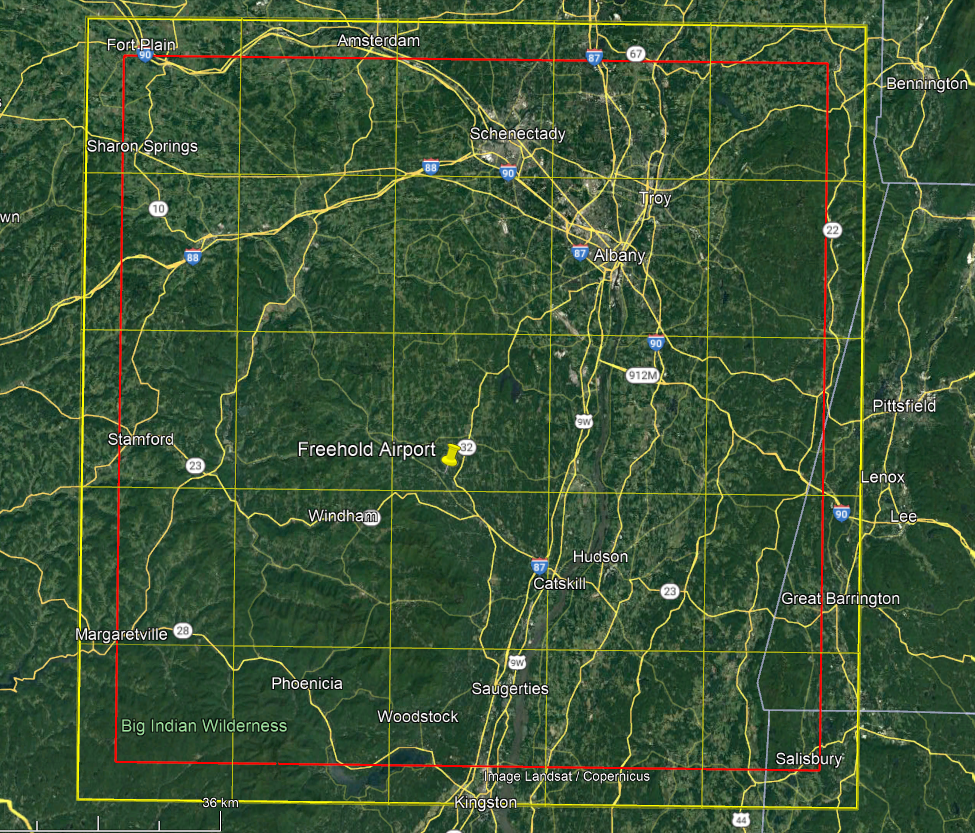
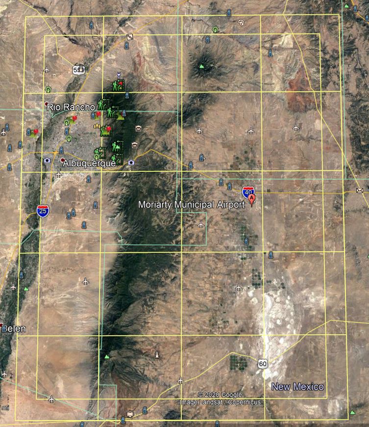
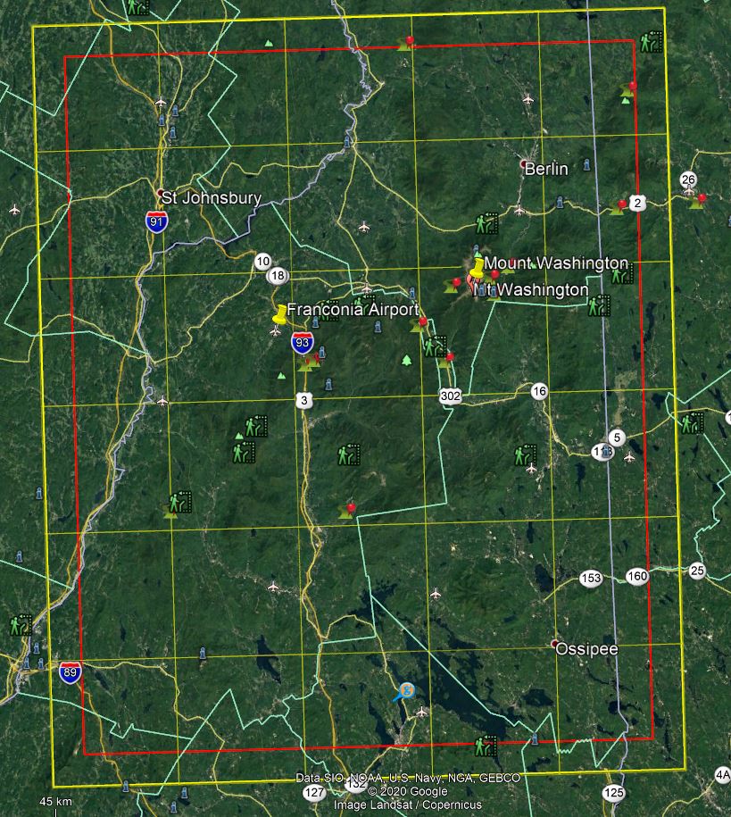
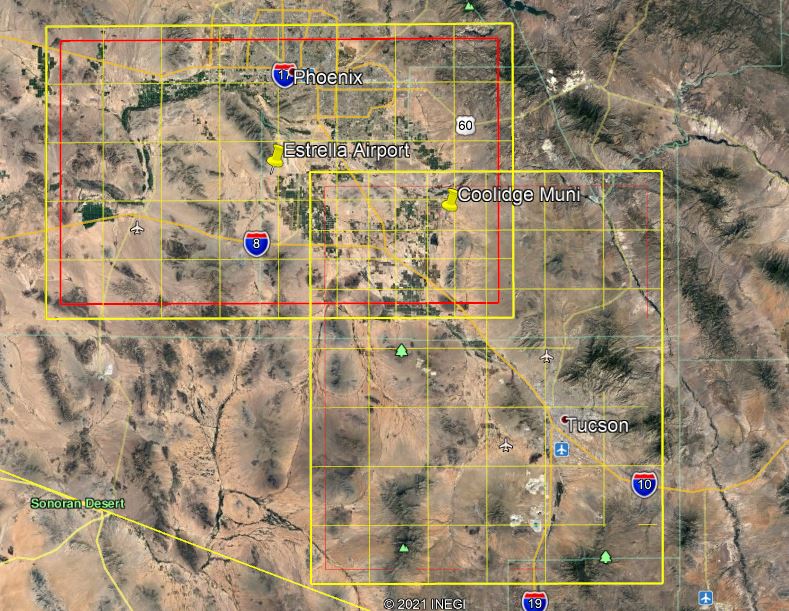
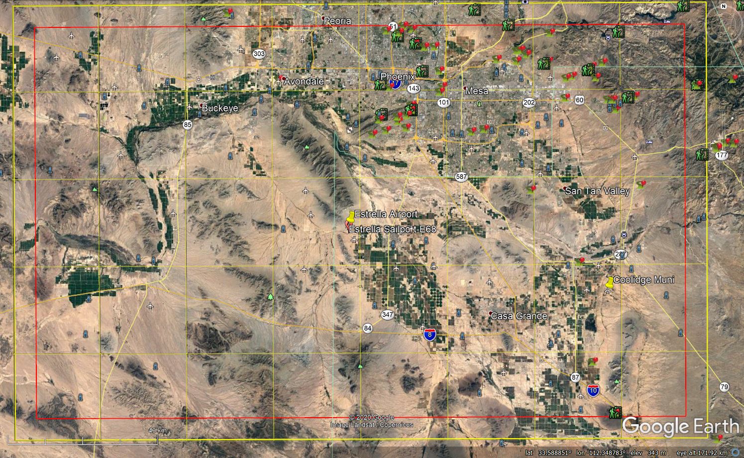
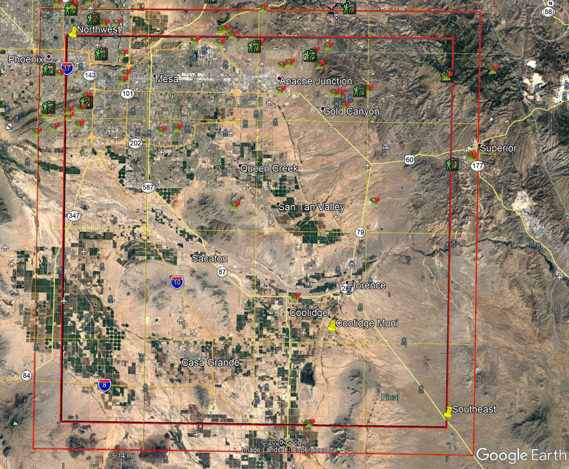
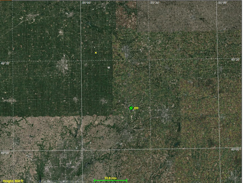
 Covers several airports. Used by the
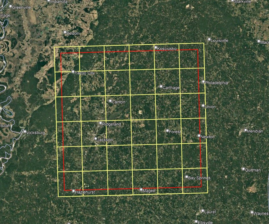
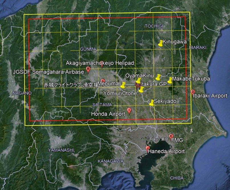
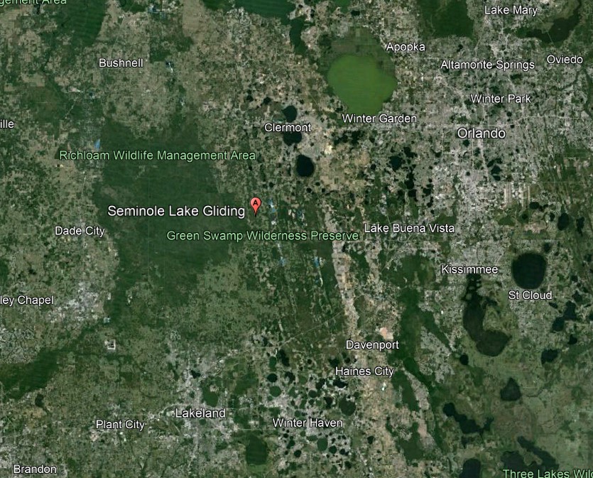 school,
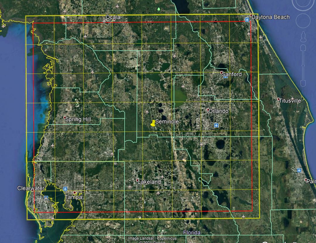
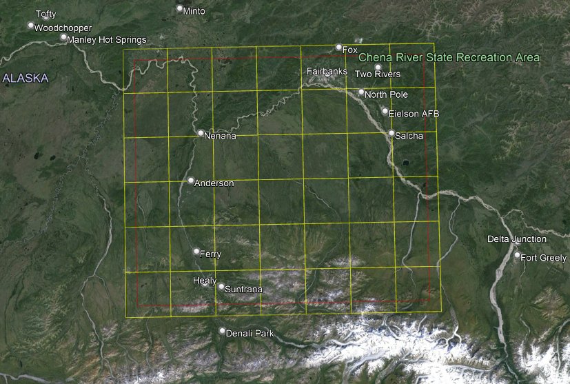
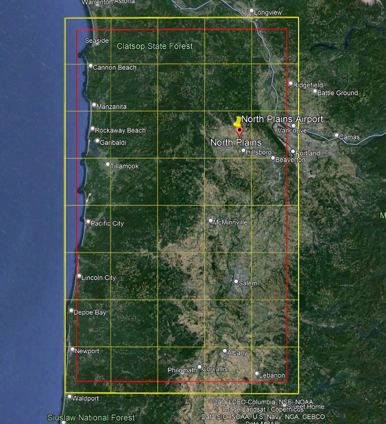
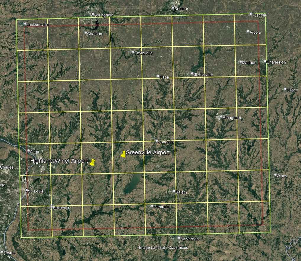
 – 56 tiles. Nice scenery, multiple airports, home of the
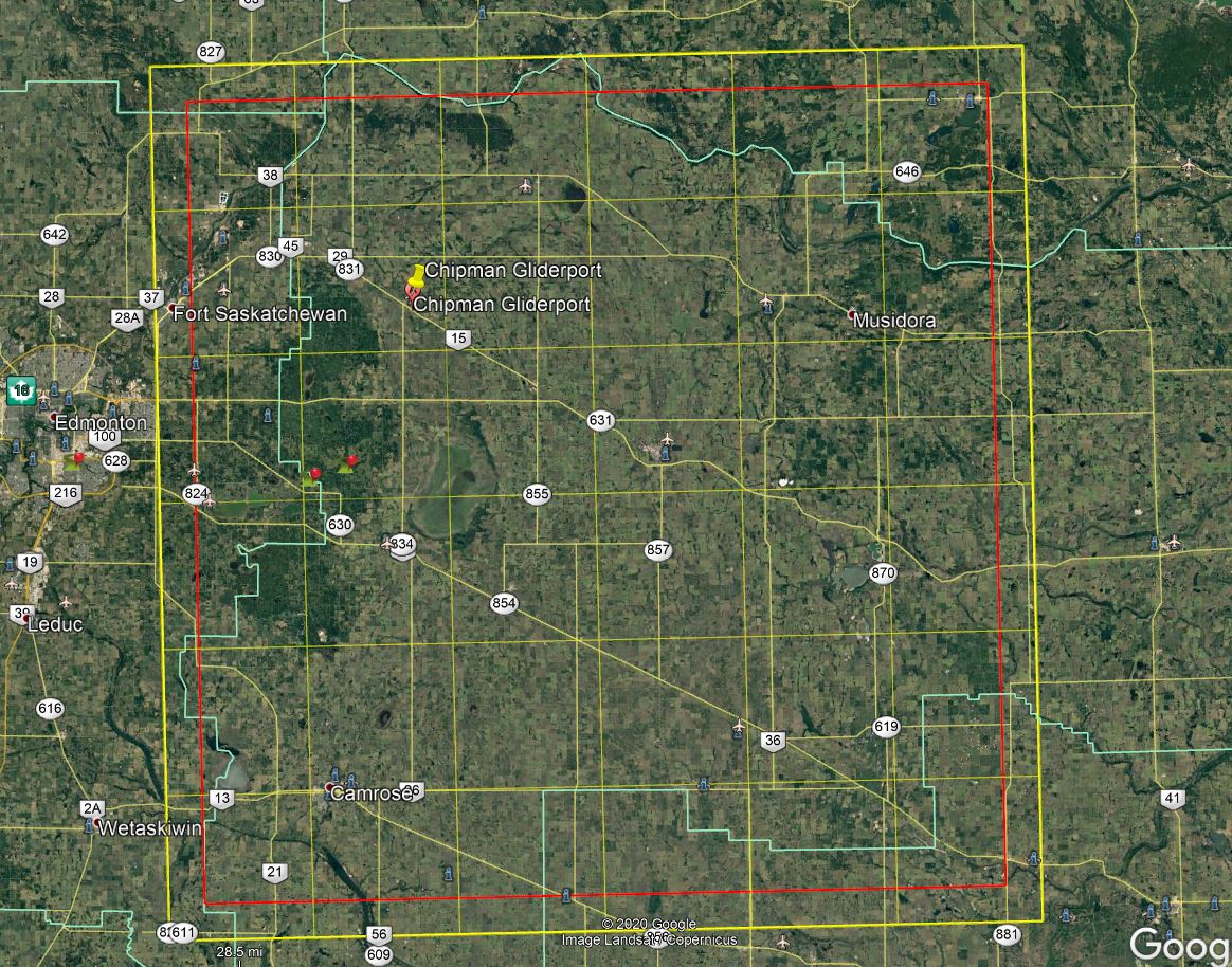
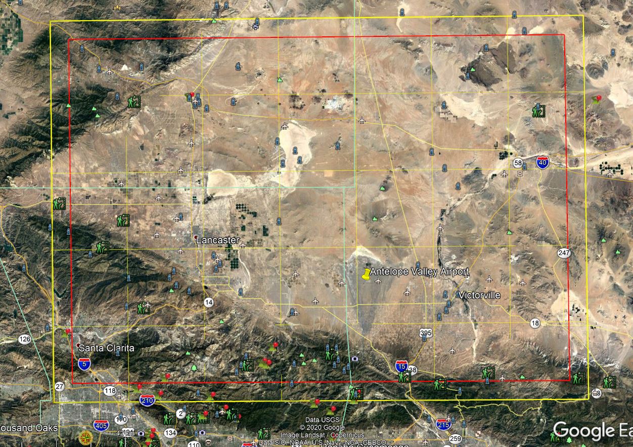
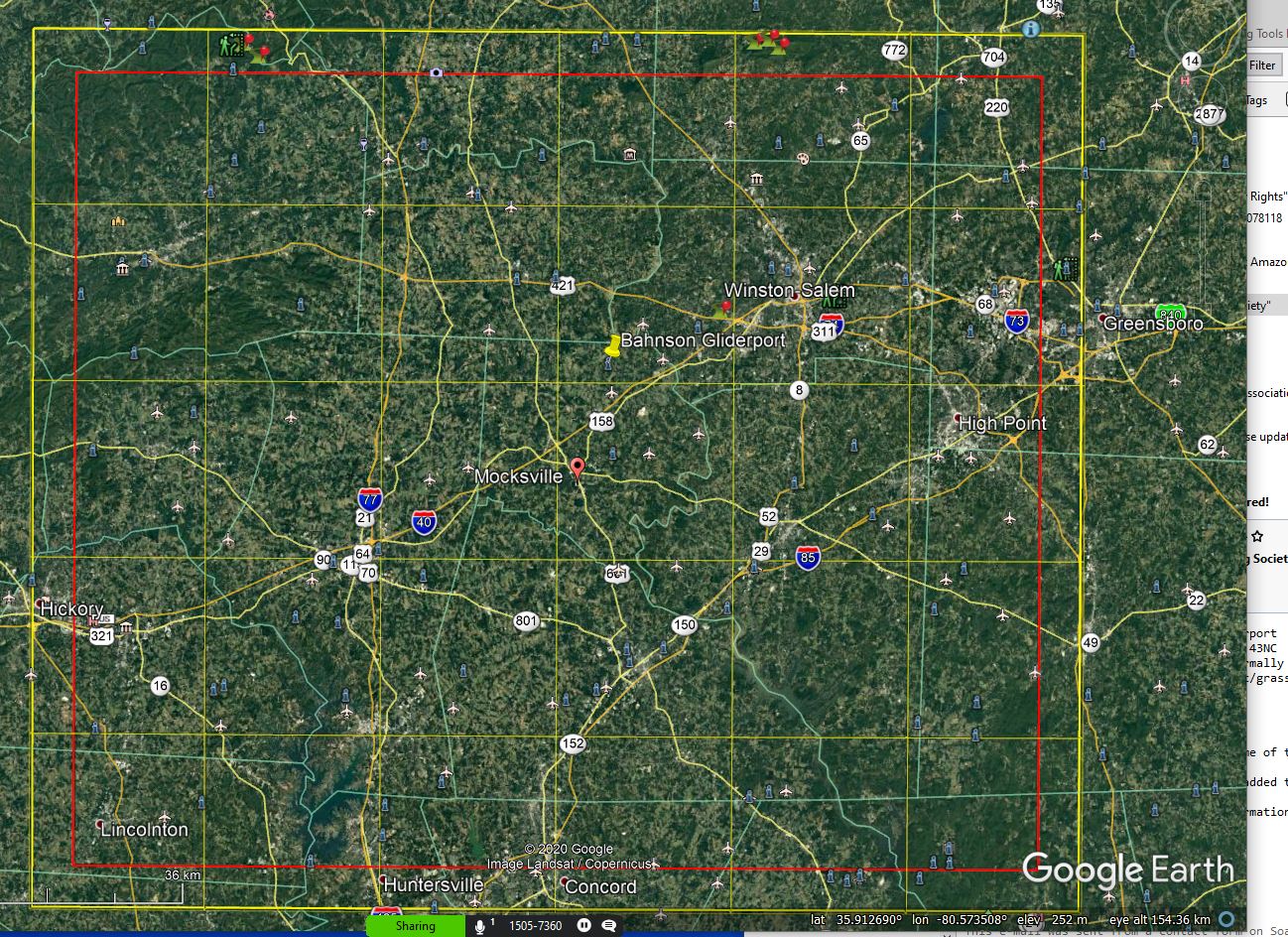
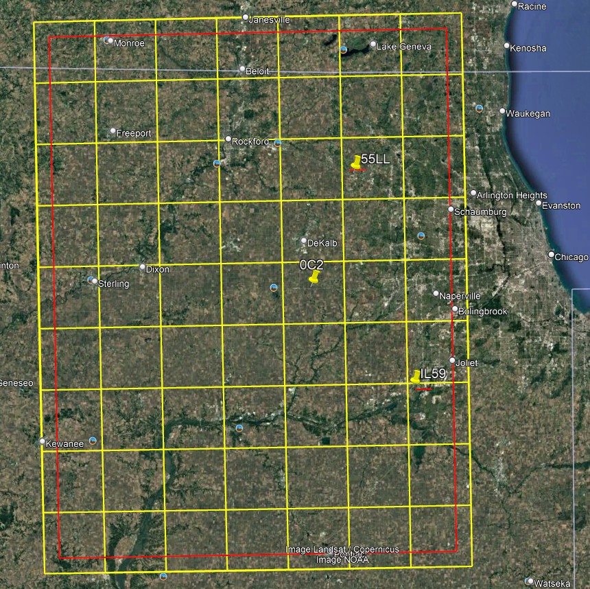
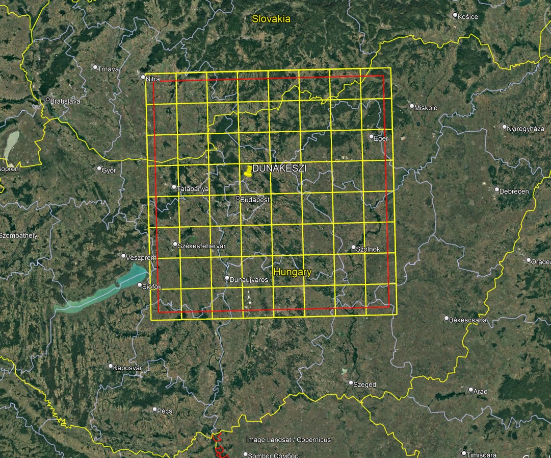
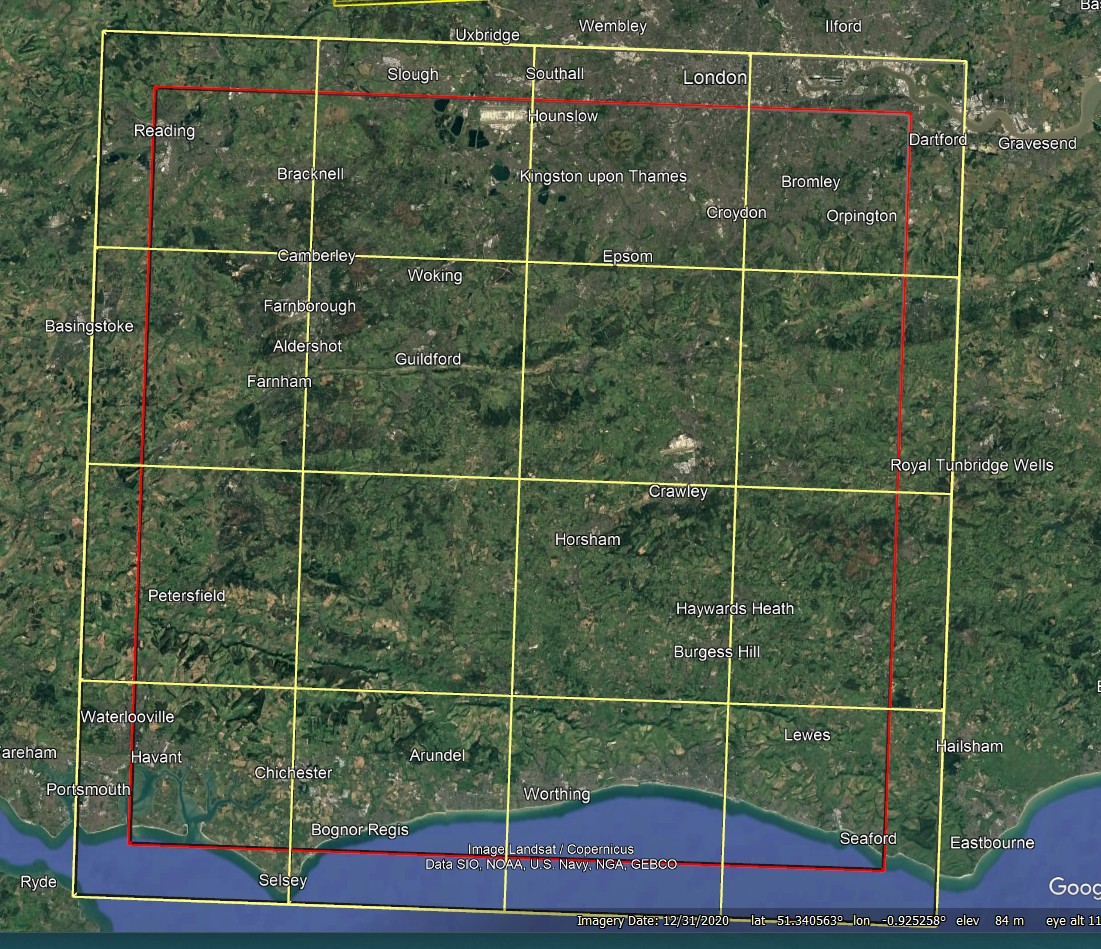
 A scenery for the